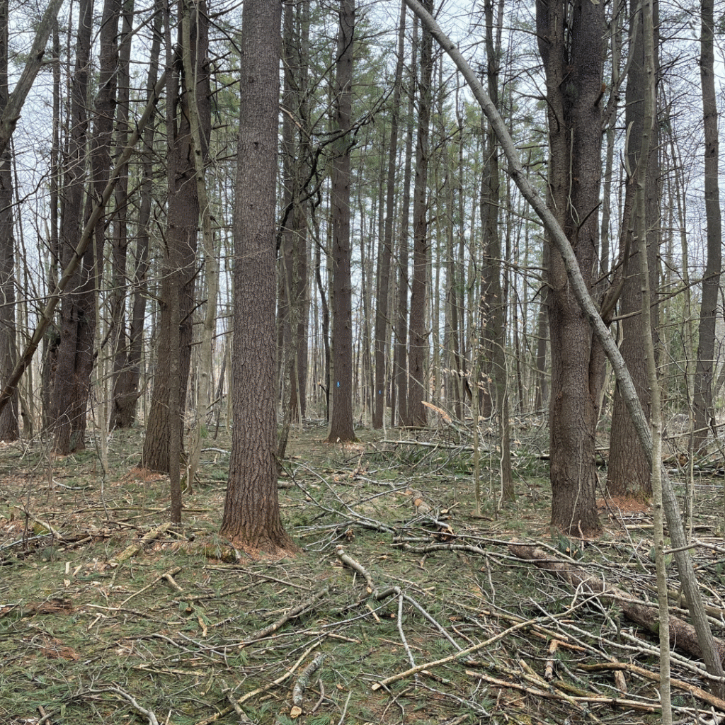
The Couchiching Conservancy region is currently under high or extreme fire risk. Conditions are dangerously dry due to a lack of rain over the past months. Vegetation is crispy and there is an excess of fuel in forested areas due to deadfall from this spring’s historic ice storm.
Current Closures Due to Active Fires or Fire Risk
Due to continued dry conditions from the draught this year, forest users should refrain from any activities that could spark a fire. This includes smoking, using machinery that can throw sparks, idling vehicles over dry grass or leaves, and using motorized vehicles in the forest. No motorized vehicles are allowed on Couchiching Conservancy Nature Reserves at any time. No camping or fires of any kind are allowed on Couchiching Conservancy Nature Reserves at any time.
Alexander Hope Smith Nature– Open as of end of Day October 17. Emergency crews checked the area to ensure the fire was out.
Prospect Marsh Nature Reserve- Open. The area is clear of hazards.
No other closures at this time.
Update: A fire broke out on Oakridge Drive across the river from the Alexander Hope Smith Nature Reserve at some point overnight from 16 October- 17 October. It was 1-2 acres in size. Emergency crews put the fire out within a few hours. The cause was wood stove ash improperly disposed of outdoors. Rainy, cooler weather assissted in getting this fire quickly under control.
Update: 20 August 2025- The Kirkfield fire is out! After more than 24 hours of steady rainfall, the fire is out. Couchiching Conservancy staff have not yet checked Prospect Marsh Nature Reserve boundaries for hazards related to the fire. The nature reserve remains closed until that time. Thank you to City of Kawartha Lakes Fire Department for all of your very hard work fighting this and other fires in the region.
Update: 18 August 2015- The Kirkfield Fire near Prospect Marsh Nature Reserve is now under control. It may still be burning within its boundaries, but emergency personnel are confident that it will not grow given foreseeable weather conditions. Based on aerial mapping of the fire, it did not reach the nature reserve or Ling Conservation Easement but came very close. The nature reserve is still closed to the public until we can confirm there are no hazards present.
Update: 15 August 2025- The Kirkfield Fire near Prospect Marsh Nature Reserve is classified as “being held.” It is unlikely that the fire will grow in size and will hopefully be contained soon. Thank you to City of Kawartha Lakes Fire Department.
No other nature reserves are closed at this time.
Unless directed by the provincial government, we will not close nature reserves to hiking unless there is an active fire on the nature reserve or nearby that poses a risk. Nature reserves may remain closed for some time after a fire while emergency services clears the area and until risks and hazards have been evaluated by our staff. Use extreme caution in dry areas to prevent fires. Call 911 if you see fire or smoke in natural areas.
Help us prevent fires.
Camping, fires, fireworks, and motorized vehicles are never allowed on any Couchiching Conservancy nature reserve.
At this time, we ask that hikers refrain from smoking. Do not throw any cigarette butts into vegetation or out car windows. It only takes a small ember or spark to light a fire.
We have also suspended the use of gas-powered equipment in dry areas because they can throw sparks from the engine, hot exhaust can light fires on dry vegetation, and hitting rocks with metal components can throw sparks. This includes chainsaws, mowers, trimmers, and other engine powered equipment.
Be mindful of your exhaust when idling your vehicles near dry vegetation. The heat can cause fires.
If you see questionable activities that may cause fires on or near one of The Couchiching Conservancy’s nature reserves or conservation easements, please report them to our office at 705-326-1620 or email nature@couchconservancy.ca
What to do if there is a fire
If you see a fire or smoke, call 911 as soon as you can.
If you don’t have cell service, get to a safe location first, and then call 911.
Leave the area, staying up upwind if you can. Stay as calm as possible to keep yourself safe.
Do not attempt to put out a fire.
Do not drive through areas with fire or smoke next to the road.
Do not interfere with emergency services fighting fires.
Stay away from active or recent fires due to safety risks.
Do not use drones on or near fire zones.
If on a nature reserve or conservation easement, please call The Couchiching Conservancy at 705-326-1620 or email nature@couchconservancy.ca
Useful details to tell emergency services:
- Exact location of the fire or smoke and time you saw it
- Direction the fire was moving
- Type of vegetation burning (grass, trees, deadfall limbs, etc.)
- If any people, roads, or structures might be in the path of the fire.
Where is fire risk highest?
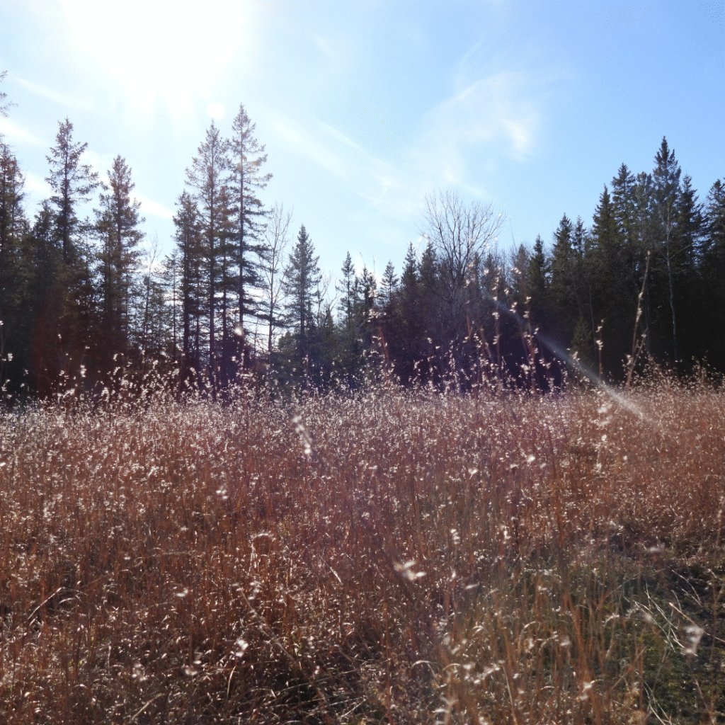
Habitats have an assortment of characteristics that determine their likelihood of burning. These include the type of vegetation, the amount of fuel, and the weather conditions. Grasslands are prone to fire and have a history of burning. Peat wetlands and dry pine plantations can burn easily in the right conditions.
The amount of burnable fuel on the landscape varies from year to year and is dependent on factors like deadfall from storms, buildup of debris from floods, and presence of invasive plants like European buckthorn and invasive Phragmites. These invasive plants can cause fires to burn faster and hotter.
Weather conditions are also important in determining fire risk. The rainfall this summer has been so little and temperatures so hot that vegetation has dried up, increasing the risk of fire. Strong winds can cause fire to burn and move faster.
Some parts of our region have a history of burning, such as Carden Alvar, where burning can help regenerate the alvar by removing excess decaying material and encourage the growth of new native vegetation. This type of low-level burn should not be confused with destructive crown fires, or fires so large that they consume the landscape and destroy the local ecosystem.
For Additional Information on Fire Risk in Our Region:
- Natural Resources Canada’s Canadian Wildland Fire Information System
- Ontario Ministry of Natural Resources Fire Info Map
- ESRI Canada Active Fires Map
- Be Fire Smart. Assessing Wildfire Risk. Province of Ontario
- Wildfires. Get Prepared. Government of Canada
- Active Fire Near Prospect Marsh (CBC) 13 August 2025
- Fire Crews Continue to Battle Kawartha Lakes (CBC) Fires 14 August 2025
- Two of Three Wildfires being held in Kawartha Lakes (Kawartha Now) 15 August 2025