Size: 181-acres
Status: Open to the Public, with trails.
Protected: Oct 31, 2019
Donors: A bequest from John Pitts, the families of John and Kathleen Milligan, numerous others listed below.
Donors: numerous community members, The Echo Foundation, The Consecon Foundation and The Gosling Foundation. This project was made possible by the Government of Canada through the Natural Heritage Conservation Program, part of Canada’s Nature Fund.
Landscape and Species:
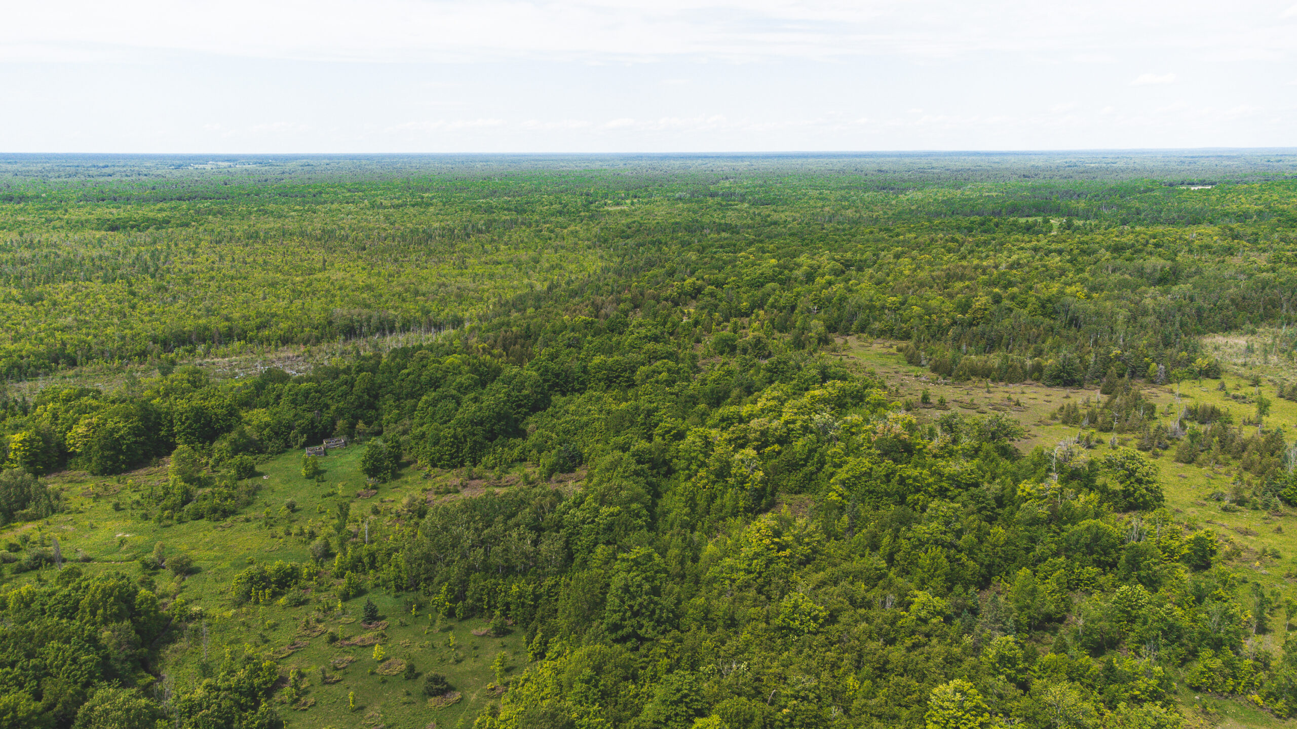
- The land is located at the southern extent of the Black River Wildlands corridor, identified in our most recent acquisition strategy as high priority for protection.
- 25 vegetation communities that are still being documented.
- A highly vulnerable aquifer provides significant cold water recharge.
- The property has an active quarry to the south west and buffers a large wetland connected to the Head River.
“Protecting this mix of forest, wetland and headwaters benefits our entire community,” said Mark Bisset, Executive Director of The Couchiching Conservancy. “Creating corridors of connected wilderness is a critical goal of our work. Having land set aside from development is an imperative part of the solution to our collective climate crisis. Adding untouched wilderness to our network of Nature Reserves, and other protected places is something that helps us all.”
Visit this Nature Reserve:
Address: 6298 Pearl Carricks Road, Sebright
Parking: In spring, summer and fall, there is parking in front of the property sign off of the road. In winter, parking is more challenging as the shoulder of the road is soft. Park away from the blind corner and mind the soft shoulder.
Trail Length: 2km
Trail Type: Loop
Estimated time: 1 hour (but you could spend a lot of time staring at the stream, so could be longer)
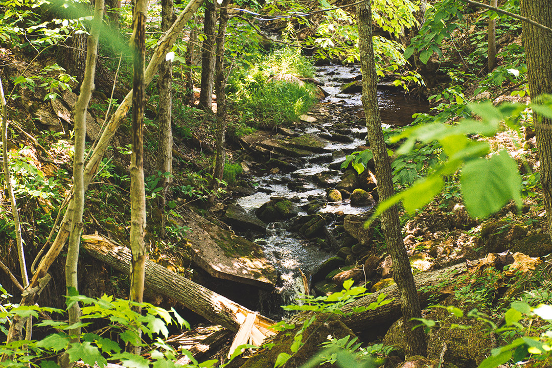
Description: There is a crossing at Stickleback Stream, using rocks. Please be careful and watch the water levels, especially after heavy rain. The terrain is fairly level and you do need to watch for grykes (a vertical crack up formed by the dissolving of limestone by water, that divides an exposed limestone surface into sections or clints).
Maximum Elevation: 243m Elevation Gain: 18m
What3words: ///piling.exporters.confiscate
Best time to visit: any time. Be prepared for seasonal conditions (mosquitoes in the spring-summer, damp in the spring and fall, etc).


